California’s Coast Isn’t Done Yet—Heavy Rain and Winds to Hit Eureka by 11AM!
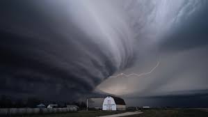
Eureka, CA – Spring may be here, but it certainly won’t feel like it on the North Coast this week. According to the National Weather Service, a Pacific storm system is moving in fast, bringing steady rain and gusty winds to Eureka starting around 11 a.m. on Monday, with scattered showers expected to linger through Tuesday evening.
Winds Pick Up as Storm Moves In
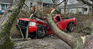
Residents in Humboldt County and surrounding areas should brace for blustery winds as the storm system makes landfall late Monday morning. Sustained winds of 15 to 25 mph are likely along the coast, with gusts reaching 35 mph or higher, especially in exposed areas and along headlands.
“These kinds of gusts can knock down tree branches or cause minor power disruptions,” said NWS meteorologist Alan Phillips. “Drivers of high-profile vehicles should also be cautious, especially along Highway 101 near the coast.”
Rainfall Totals May Soak Commutes
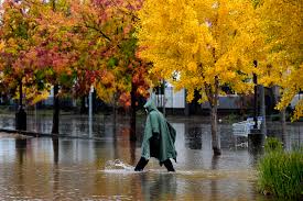
Rain will begin lightly late Monday morning but is expected to intensify through the afternoon, possibly making for a wet and slow evening commute. Totals by the time the storm exits Tuesday could range from 0.5 to 1.5 inches, with heavier amounts in the higher elevations.
Urban and low-lying areas may see some minor pooling of water, and slick roads are a concern for both Monday and Tuesday drivers. Commuters should plan and give themselves extra travel time.
Extended Showers Through Tuesday
Though the heaviest rain is expected Monday afternoon into the night, on-and-off showers will continue throughout the day Tuesday. Cooler temperatures, staying in the low 50s, will add to the dreary conditions.
Forecasters say conditions will begin to dry out by Tuesday night, with partly cloudy skies expected Wednesday and a gradual warming trend into the weekend.
Coastal Concerns: High Surf Possible
While the main concern is rain and wind, the system will also stir up choppy seas and larger waves, prompting a Beach Hazards Statement for Humboldt and Del Norte counties. Surf heights may reach 10 to 14 feet, making dangerous sneaker waves and strong rip currents a threat to beachgoers.
Officials advise the public to stay off rocks and jetties and avoid turning their backs to the ocean during this period of rough surf.
Spring Weather Can Still Surprise
Although this storm doesn’t bring extreme conditions, it’s a good reminder that spring in Northern California can be highly unpredictable.
“April weather in this region often feels more like winter than spring,” said Phillips. “We may be done with snow in most areas, but the rain and wind are sticking around a bit longer.”