
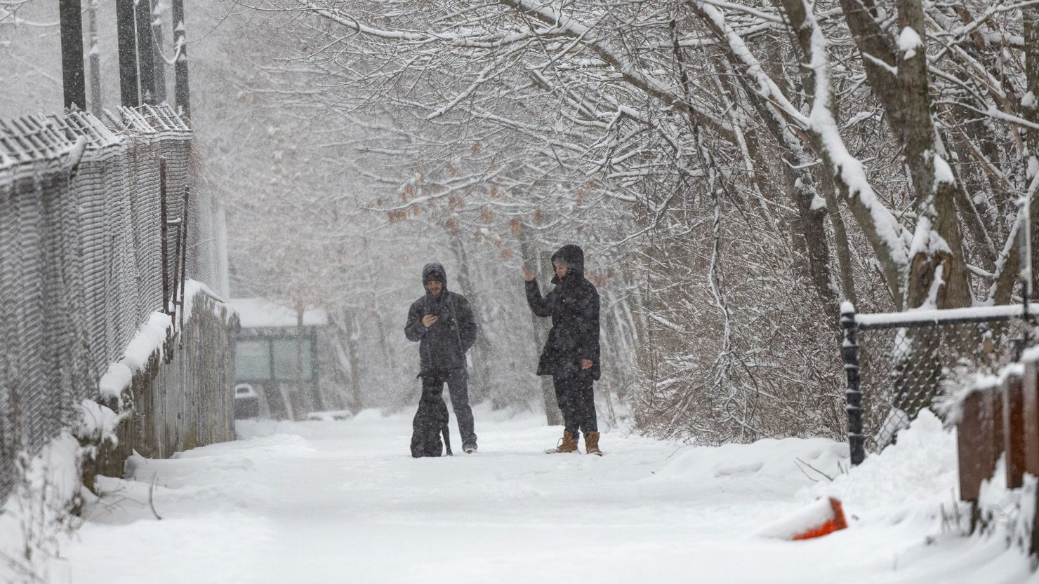
A powerful winter storm is set to bring a dangerous mix of snow, sleet, and freezing rain to North Carolina, causing treacherous road conditions and the potential for widespread power outages. The National Weather Service (NWS) has issued Winter Storm Warnings and Advisories across the state, with the worst conditions expected Tuesday through Wednesday morning.
The storm is expected to hit western and central North Carolina the hardest, where heavy snow and thick ice accumulations could make travel nearly impossible. Forecasters are urging residents to stay off the roads, prepare for potential power outages, and stay updated on the latest weather alerts.
Which Areas Will Be Hit the Hardest?
Different parts of North Carolina will experience different impacts, with northwestern counties at the highest risk for significant snow and ice accumulation.
-
Western North Carolina (Ashe County & Surrounding Areas)
- Heavy snow and ice possible from Tuesday morning through Wednesday afternoon.
- Total snowfall could reach 6 inches in some areas.
- Ice accumulations up to half an inch could lead to widespread power outages and fallen trees.
- Travel will be extremely dangerous or impossible due to slick roads and poor visibility.
-
Central and North-Central North Carolina (Along and North of I-85)
- Sleet and freezing rain are expected throughout the day Tuesday.
- Up to half an inch of sleet and one-tenth of an inch of ice could coat roadways, creating extremely slippery conditions.
- While snow totals will be lower here, even a small amount of ice could turn highways into skating rinks.
Major cities affected include Boone, Asheville, Eden, Dobson, Wilkesboro, Yanceyville, Danbury, and Yadkinville.
When Will the Storm Arrive?
The storm is expected to move in early Tuesday morning and continue through Wednesday afternoon, creating a long-duration event with changing conditions.
- Tuesday Morning: Snow and sleet begin in western North Carolina, making roads slippery early.
- Midday to Evening: Precipitation intensifies, with snow changing to ice in some areas.
- Tuesday Night into Wednesday Morning: Ice accumulations peak overnight, leading to the greatest travel disruptions and power outage risks.
- Wednesday Afternoon: The storm starts to move out, but roads will remain icy and dangerous in some areas.
Travel Will Become Extremely Dangerous
This storm is expected to cause major disruptions to travel across the state. Even a small amount of ice can turn roads into skating rinks, and heavier accumulations could make driving impossible.
- Bridges and overpasses will freeze first, becoming extremely slick.
- Highways and interstates could become impassable, especially in higher elevations.
- Flights may be delayed or canceled at Charlotte Douglas International Airport and other regional airports.
- Major interstates like I-40, I-77, and I-85 could see major slowdowns and accidents.
If you don’t absolutely have to drive, stay home. If you must go out, drive with extreme caution, reduce speed, and keep an emergency kit in your car with blankets, food, water, and a flashlight.
Will There Be Power Outages?
Yes, and here’s why: Ice is one of the biggest threats to power lines and trees. Even just a quarter-inch of ice can snap tree branches and knock out electricity for thousands of people.
Western North Carolina is at the highest risk for significant ice accumulations, meaning some areas could see widespread power outages lasting several hours or even days.
To prepare:
- Charge your phone and backup batteries ahead of time.
- Have flashlights and extra batteries ready in case of outages.
- Stock up on food, water, and medications before the storm hits.
- Prepare alternative heating sources if the power goes out.
What’s the Forecast for Major Cities?
- Raleigh: Mostly rain, but areas to the north and west will see icy conditions.
- Charlotte: Cold and cloudy with occasional showers. Some slick spots possible on bridges.
- Asheville: Heavy rain with flooding risks and temperatures just above freezing.
- Greensboro: Snow and sleet will make travel dangerous, especially Tuesday evening.
How Long Will the Impacts Last?
Even though the storm will move out by Wednesday afternoon, the aftermath could last much longer.
- Icy roads could remain a problem into Thursday, especially in shaded areas.
- Power restoration could take time in areas that experience downed trees and power lines.
- Colder temperatures will keep ice from melting quickly, meaning some slick spots could linger through the rest of the week.
Final Warning: Take This Storm Seriously
Winter storms in North Carolina don’t happen often, but when they do, they can cause major disruptions. This storm is expected to bring dangerous travel conditions, potential power outages, and bitterly cold temperatures.


