Hurricane Lee has dropped to a Category 3 hurricane from a Category 5 storm with sustained winds of approximately 115 mph.
The National Weather Service anticipates rip currents and sea levels rising 10 to 15 feet, which could potentially be fatal.
“Hurricane Lee gains strength and presents a potential danger to the Caribbean islands”
Hurricane Lee, initially a Category 5 storm with sustained winds of around 115 mph, has weakened to a Category 3 hurricane. However, forecasters warn that it could regain strength as it moves towards the southwest Atlantic. This poses a significant threat to Puerto Rico, the United States, and other Caribbean islands.
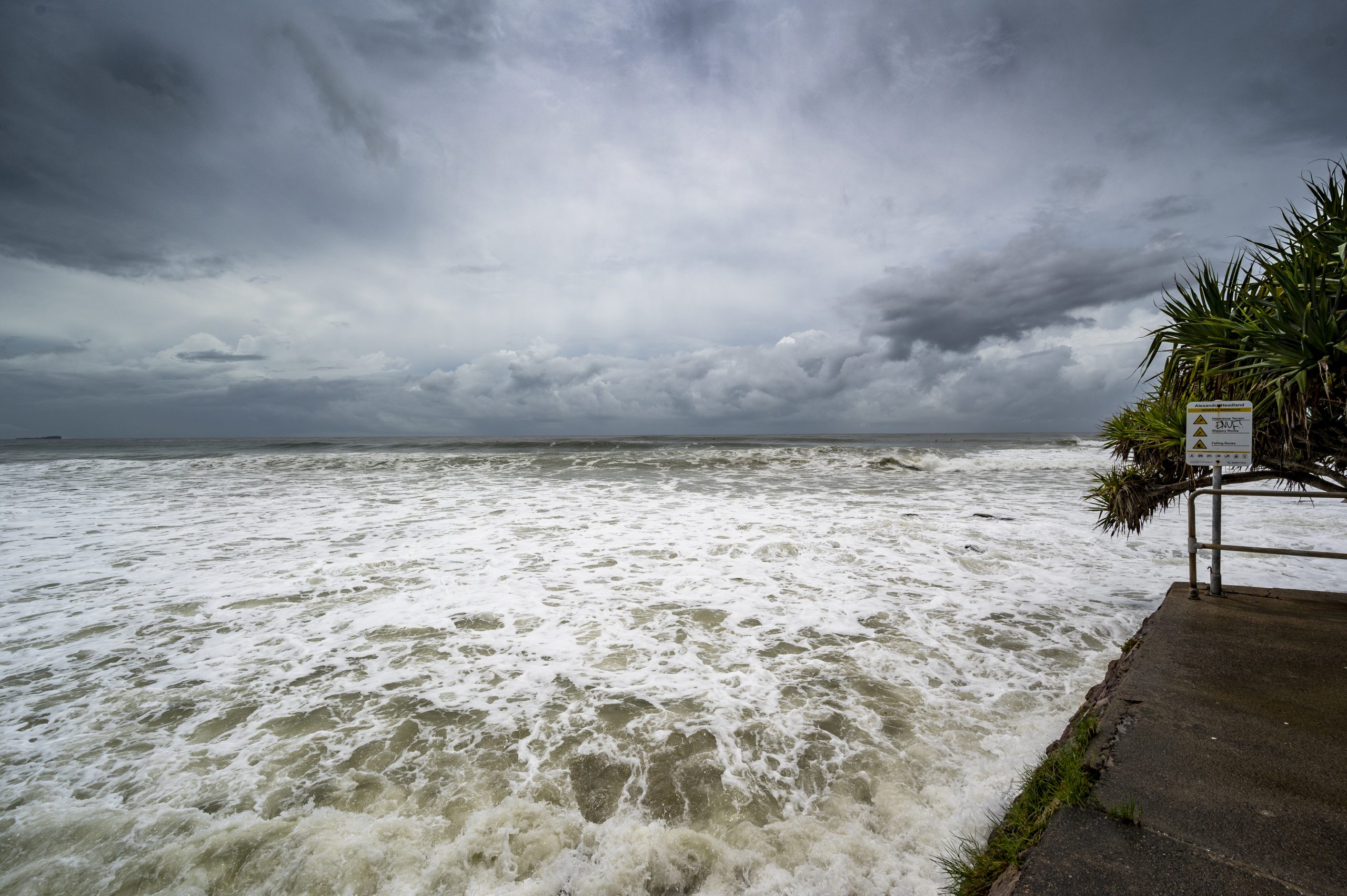
The U.S. Virgin Islands are already experiencing deteriorating conditions, and the Coast Guard is concerned about hazardous rip currents related to the hurricane. This presents a particular risk for those engaging in water activities such as boating, fishing, and going to the beach. The National Weather Service anticipates rip currents and sea levels rising 10 to 15 feet, which could potentially be fatal.
The Coast Guard consequently faces difficulties in responding to marine emergencies due to the expected sea state. People in affected areas must take necessary precautions and stay updated on the changing situation.
READ ALSO: Most Dangerous Cities In Michigan 2023 Update
“Sighting Hurricane Lee: A Formidable Storm Approaching”
Hurricane Lee, currently a strong Category 3 storm, had rapidly intensified from a Category 1 to a powerful Category 5 within 24 hours. This makes it the 13th Category 5 storm to develop east of the Caribbean. Fortunately, the storm is now weakening and moving away from the shore. Although Florida, Georgia, and South Carolina are not expected to be directly impacted, the Lesser Antilles and Puerto Rico may experience strong gusts and rough seas. There is a possibility of high surf and strong waves causing damage to coastlines as Lee moves north of the islands towards the southwest Atlantic.
Computer models indicate that Lee will likely remain offshore, but it is still advisable to monitor future projections, as some models suggest potential impacts on the Mid-Atlantic and Northeast coasts. Currently, the northern Leeward Islands are around 400 miles east of the storm’s current position. Lee is moving in a west-northwest direction and is predicted to be east of the Bahamas and north of Puerto Rico by early next week. Although there are no watches or warnings for any landmasses at present, experts believe Lee may regain strength and reach Category 4 or even 5 status again if atmospheric conditions are favorable in the coming days.
READ ALSO: Factors Affecting Crude Oil Prices: From Decreased Refiner Purchases To Chinese Imports