
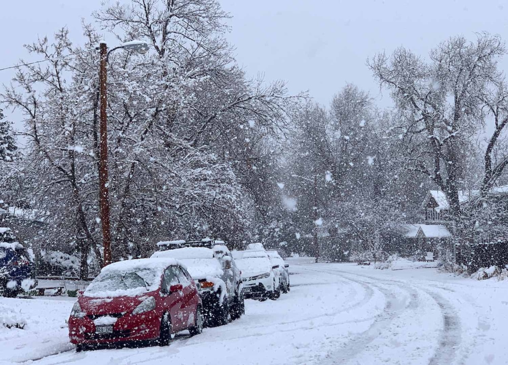
Oklahomans, get ready for a wintry mess. A storm system moving into the region is expected to bring a mix of snow, sleet, and freezing rain, leading to hazardous road conditions on Wednesday.
According to the National Weather Service (NWS), a Winter Weather Advisory has been issued for multiple counties, including Osage, Pawnee, Nowata, and Washington, effective from midnight Tuesday through 3 PM Wednesday. The storm is expected to create dangerous travel conditions, especially during the morning commute.
How Bad Will the Weather Get?
This isn’t just a light dusting of snow—this storm has the potential to make driving extremely dangerous, especially on untreated roads, bridges, and overpasses. Here’s what to expect:
- Snow and Sleet Accumulation: Up to 1 inch of snow and sleet in some areas.
- Ice Accumulation: Up to one-tenth of an inch of ice, which is enough to cause slippery roads, power line issues, and fallen tree branches.
- Bitter Cold: With temperatures hovering just below freezing, the combination of ice and snow will keep roads hazardous all day.
When Will the Storm Arrive?
The storm is expected to impact Oklahoma overnight Tuesday into Wednesday, with the worst conditions occurring during the morning commute and lingering into the afternoon.
- Late Tuesday Night: Light snow begins to fall across northern Oklahoma.
- Early Wednesday Morning: Snow transitions into a wintry mix of sleet and freezing rain, creating slick conditions.
- Mid-Morning to Afternoon: Icy roads and reduced visibility could make travel treacherous in and around Tulsa.
- Late Wednesday Night: Temperatures drop sharply, keeping ice on roads and sidewalks overnight.
How Will This Impact Travel?
If you’re planning to drive on Wednesday, be prepared for difficult conditions, including ice-covered roads, slow traffic, and possible road closures.
- Bridges and overpasses will freeze first, making them extremely slick.
- Highways like I-44 and I-35 could see major slowdowns and accidents.
- Flights out of Tulsa International Airport could be delayed or canceled due to icy runways.
If you don’t absolutely have to drive, stay home. If travel is necessary, drive slowly, allow extra stopping distance, and keep an emergency kit in your car with blankets, food, water, and a flashlight.
Could There Be Power Outages?
Yes. Even a thin layer of ice on power lines can cause outages, and this storm is expected to bring enough freezing rain to pose a risk. Tree branches weighed down by ice could snap and knock out electricity in some areas.
To prepare for potential power outages:
- Charge your phone and backup batteries ahead of time.
- Have flashlights and extra batteries on hand.
- Stock up on food and water in case outages last several hours.
- Avoid using space heaters near flammable materials.
What Should You Do to Prepare?
Now is the time to get ready before the storm arrives. Here’s what you can do:
- Stay off the roads if possible – Driving on ice is extremely dangerous, especially in the early morning.
- Stock up on essentials – Get groceries, medications, and supplies before the worst of the storm hits.
- Prepare your home – Have extra blankets and alternative heating options in case of power outages.
- Check on neighbors and family – Some may need assistance preparing for the storm.
How Long Will the Impacts Last?
Even though the Winter Weather Advisory expires at 3 PM Wednesday, icy roads and freezing conditions could linger into Thursday morning. Road crews will be working to clear ice and snow, but with below-freezing temperatures, some slick spots could remain overnight.
Final Warning: Stay Safe and Be Prepared
This isn’t just another cold snap—this is a dangerous winter storm that could cause travel disruptions, icy roads, and power outages. Officials are urging residents to take this storm seriously and prepare accordingly.


