
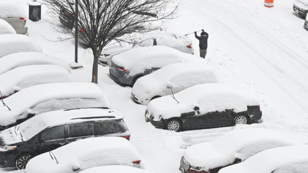
Vermont residents, get ready—a powerful winter storm is set to sweep across the state from Saturday night into Sunday, bringing heavy snow, sleet, and icy conditions that could make travel nearly impossible.
The National Weather Service has issued a Winter Storm Watch for all of Vermont and parts of northern New York from 7 PM Saturday through 11 PM Sunday. Forecasters warn that 5 to 10 inches of snow and sleet could accumulate, along with up to a tenth of an inch of ice, creating extremely hazardous road conditions and increasing the risk of power outages.
What to Expect from This Weekend’s Storm
The storm is expected to begin Saturday evening, with light snowfall starting in the afternoon before intensifying overnight. The heaviest snow is expected late Saturday into Sunday morning, with blowing snow and icy roads creating dangerous travel conditions.
-
Saturday, February 17:
- Cloudy and cold throughout the day.
- Snow showers expected to begin by late afternoon.
- High of 21°F (-6°C), with 2-4 cm of snow accumulation by evening.
-
Sunday, February 18:
- The most dangerous part of the storm.
- 5 to 10 inches of snow expected, mixed with sleet and freezing rain in some areas.
- Ice accumulation up to one-tenth of an inch, making sidewalks and roads extremely slick.
- High temperatures around 22°F (-6°C) but feeling much colder due to strong winds.
This wintry mix of snow and ice will lead to reduced visibility, snow-covered roads, and black ice, making travel extremely difficult—if not impossible—on Sunday.
Why This Storm Is a Serious Threat
This isn’t just another snowy Vermont weekend—the combination of heavy snow and ice makes this storm particularly dangerous.
- Travel will be hazardous: Snow and ice accumulation will make roads extremely slick, and blowing snow could reduce visibility to near zero at times.
- Power outages are possible: Ice buildup on trees and power lines could lead to outages in some areas. Make sure you have flashlights, batteries, and emergency supplies ready.
- Bitter cold will follow: Even after the storm moves out, temperatures will remain below freezing, meaning any melted snow or ice will refreeze overnight, creating treacherous conditions into Monday morning.
How to Stay Safe
1. Avoid travel unless absolutely necessary. If you must drive, keep an emergency kit in your car with blankets, food, water, and a flashlight.
2. Prepare for possible power outages. Charge your devices, have extra batteries, and keep warm blankets on hand.
3. Check on elderly neighbors and family members. Make sure they have heat, food, and essential supplies.
4. Stay updated. Monitor local weather reports and alerts for any changes in the forecast.
When Will the Storm End?
The worst of the storm is expected to move out by late Sunday evening, but lingering snow showers and freezing temperatures will keep roads icy into Monday. Any slush or melted snow will refreeze overnight, making Monday morning commutes just as dangerous.
Final Warning
Vermont residents should prepare now for what could be one of the most disruptive winter storms of the season. If you don’t need to travel, stay home. Stock up on essentials, charge your devices, and be ready for potential power outages. This storm is not one to take lightly.


