
Michigan residents are in for a wintry mess this weekend, as a strong storm system moves across the region, bringing a combination of heavy snow, freezing rain, and dangerously icy roads. The National Weather Service has issued a Winter Weather Advisory for western and northern Michigan until 7 PM on Saturday.
This storm is expected to create major travel hazards, with up to 8 inches of snow in some areas and a thin layer of ice that could make roads extremely slick. With temperatures hovering around freezing, even a slight accumulation of ice could lead to dangerous driving conditions and possible power outages.
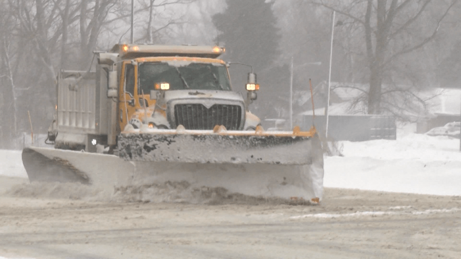
What to Expect: Snow, Ice & Hazardous Conditions
Forecasters predict that snowfall will begin late Friday night and continue into Saturday afternoon, with the heaviest accumulation expected across northern lower Michigan.
- Northern Lower Michigan (Emmet, Cheboygan, Grand Traverse Counties): Expect 2 to 5 inches of snow, with some areas seeing closer to 8 inches in localized spots.
- Western & Central Michigan (Kalamazoo, Jackson, Van Buren Counties): A mix of snow and freezing rain will lead to slick roads and reduced visibility.
In many areas, snow will transition into freezing drizzle or freezing rain by Saturday morning, creating a thin layer of ice on roads, sidewalks, and bridges. This could make travel even more dangerous than heavy snowfall alone, as drivers may not immediately notice black ice forming on untreated roads.
Travel Advisory: Roads Could Become Extremely Dangerous
Authorities are urging residents to avoid unnecessary travel, as roads will become increasingly treacherous through Saturday afternoon. Bridges, overpasses, and untreated roads will be the first to freeze, increasing the risk of spinouts and crashes.
If you must drive, take the following precautions:
- Slow down and increase following distance to account for slick conditions.
- Avoid sudden braking or sharp turns to reduce the risk of skidding.
- Keep an emergency kit in your car, including blankets, a flashlight, water, and snacks in case you get stranded.
Power Outages Possible Due to Ice Accumulation
Alongside the snowfall, areas experiencing freezing rain could see a thin layer of ice forming on power lines and trees, which could lead to isolated power outages. While this storm is not expected to bring widespread power failures, residents should charge their devices and prepare for potential short-term outages.
When Will the Storm End?
The worst of the storm is expected to pass by early Saturday evening, but lingering snow and ice will remain on roads well into Sunday morning. Temperatures are expected to drop overnight, meaning any remaining wet surfaces could refreeze, leading to more black ice dangers Sunday morning.
Final Word: Stay Safe & Be Prepared
This storm isn’t just about snow—it’s the combination of ice, freezing rain, and gusty winds that makes it especially dangerous. Whether you’re planning to travel, run errands, or just head outside, use extreme caution and stay updated on the latest weather alerts. If you don’t need to be on the road, stay home and wait for conditions to improve.


