

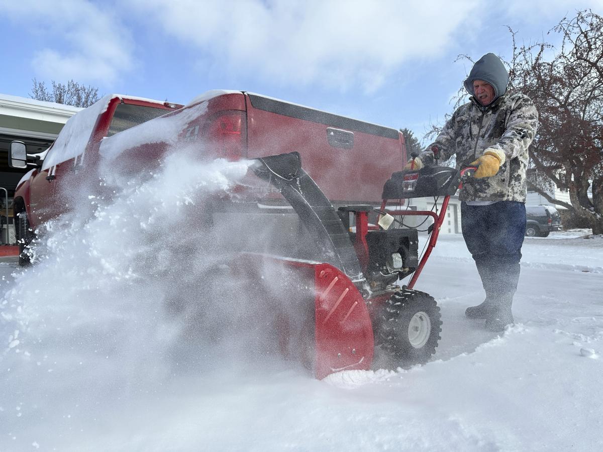
Wisconsin is gearing up for a powerful winter storm, with up to 8 inches of snow expected to blanket the state by Saturday evening. A Winter Weather Advisory is in effect until 6 PM Saturday, warning of hazardous road conditions, reduced visibility, and potential travel disruptions.
The National Weather Service reports that snow will begin late Friday night, intensifying throughout Saturday morning and afternoon. Some areas in southern and southeastern Wisconsin could experience a prolonged snowfall event lasting into Sunday.
What to Expect: Timing & Snowfall Totals
The storm will move west to east across Wisconsin, starting overnight Friday into early Saturday morning.
- Saturday Morning – Afternoon: The heaviest snowfall will occur, with rates of up to 1 inch per hour possible in some areas. Snow-covered roads and low visibility will make driving conditions dangerous.
- Saturday Evening: Snowfall will gradually taper off, but lingering snow showers and strong winds may cause drifting snow, keeping roads slick and hazardous.
By the time the system moves out, much of southern, central, and southeastern Wisconsin could see anywhere from 5 to 8 inches of total accumulation.
Which Areas Will Be Hit the Hardest?
Southern and southeastern Wisconsin are expected to bear the brunt of the storm, with cities like Madison, Milwaukee, Beloit, and Watertown under a Winter Weather Advisory. Several communities have already declared snow emergencies, warning residents to prepare for major disruptions.
The storm’s prolonged nature in southeastern Wisconsin means areas like Kenosha and Racine could see snowfall lingering into Sunday morning.
Roads Will Be Dangerous—Travel With Caution
Authorities strongly discourage unnecessary travel during peak snowfall hours, as roads will quickly become snow-covered and icy.
If you must drive, follow these safety tips:
- Slow down—snow-covered roads increase stopping distances significantly.
- Allow extra time—give yourself more time to reach your destination.
- Keep an emergency kit—pack blankets, water, snacks, a flashlight, and extra phone chargers.
- Stay updated on road conditions—check Wisconsin DOT for real-time updates.
Bridges, overpasses, and untreated roads will be especially hazardous, and blowing snow could reduce visibility to near zero at times.
Could There Be Power Outages?
While the risk of power outages is lower compared to an ice storm, heavy snow accumulating on tree branches and power lines could still lead to scattered outages. Residents should charge their devices ahead of time and be prepared with extra batteries and alternative heating options in case of extended power failures.
When Will Conditions Improve?
The storm is expected to wind down by late Saturday evening, but travel issues may persist into Sunday morning due to lingering snow showers and freezing temperatures. Strong winds could cause drifting snow, making some roads difficult to clear.
Final Word: Stay Safe & Be Prepared
This storm isn’t just another light dusting—it’s a significant winter system that will impact travel and daily activities throughout the weekend. If you don’t have to go out, it’s best to stay indoors and let road crews do their work. Stay updated on the latest weather alerts and check in on family and friends who may need assistance. Stay safe, Wisconsin


