
INDIANAPOLIS, IN – Residents of Central Indiana should prepare for a windy and potentially hazardous Friday as forecasters warn of gusts reaching up to 45 MPH in the afternoon. The National Weather Service (NWS) has issued a wind advisory for several counties, cautioning against possible power outages, fallen branches, and difficult travel conditions.
When and Where to Expect the Strongest Winds
Winds will begin increasing in intensity on Friday morning, with the most powerful gusts expected between 12 PM and 6 PM. Sustained winds between 25 to 35 MPH will make for a breezy day, but it’s the isolated gusts of up to 45 MPH that pose the most risk, especially in open areas and along highways.
“This is a classic early spring wind event, where strong gusts can lead to scattered power outages, dangerous road conditions, and minor property damage,” an NWS meteorologist in Indianapolis said. “Residents should secure loose outdoor items and remain cautious if driving.”
The wind advisory includes Indianapolis, Bloomington, Lafayette, and surrounding areas, with the potential for minor disruptions across the entire central portion of the state.
Potential Impacts: Power Outages and Travel Risks
As winds whip through the region, power lines and tree limbs weakened by recent storms could come down, leading to localized power outages. Utility companies have already warned that crews may need to respond to outages throughout the day.
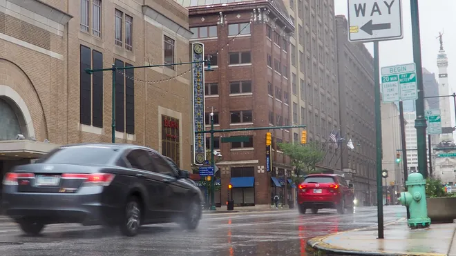
Travelers, especially those driving high-profile vehicles like trucks, SUVs, and RVs, should be extra careful. Strong crosswinds can make vehicles hard to control, particularly on interstates and overpasses.
“If you’re on the road, keep both hands on the wheel, drive slower than usual, and be alert for debris that may blow onto highways,” officials advised.
Pedestrians and cyclists should also be mindful of flying debris and sudden gusts, which can knock down objects unexpectedly.
Looking Ahead: Winds Ease Into a Cooler Weekend
The strong winds will subside by Friday night, making way for a calmer but cooler weekend. Temperatures are expected to drop slightly, with highs in the upper 50s and low 60s on Saturday and Sunday, along with mostly clear skies.
This break from severe weather will provide a chance to clean up any wind-related damage before another round of rain and potential storms early next week.
Wind Safety Tips for Residents:
-
Secure loose outdoor items like patio furniture, trash cans, and decorations.
-
Use caution when driving, especially on highways, bridges, and open roads.
-
Prepare for possible power outages by charging devices and keeping flashlights handy.
-
Stay indoors if possible during the peak wind hours to avoid flying debris.
Authorities urge residents to stay weather-aware and check for updates throughout the day.


