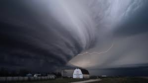
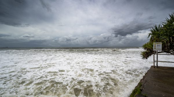
A dangerous storm system is expected to sweep through East Texas on Sunday evening into early Monday, bringing damaging winds, large hail, and the potential for tornadoes. Meteorologists warn that over 1.3 million residents are in the path of severe weather, with wind gusts reaching up to 70 miles per hour and hailstones possibly as large as tennis balls.
The fast-moving storm will develop late Sunday afternoon, intensifying through the night. Cities including Tyler, Longview, Lufkin, and Nacogdoches are expected to experience the worst conditions.
Major Storm Risks and Impact
This storm system is fueled by unstable atmospheric conditions, making it capable of producing extreme weather hazards. Forecasters warn of:
-
Hurricane-force wind gusts up to 70 MPH, capable of downing power lines, damaging roofs, and toppling trees.
-
Hail as large as 2.5 inches in diameter, big enough to shatter windows, dent vehicles, and cause significant property damage.
-
Potential tornadoes, particularly in areas where wind shear increases, make the situation even more dangerous.
-
Flash flooding, as heavy rain moves across parts of East Texas, creating hazardous driving conditions.
Timeline of the Storm
The storm system is expected to follow this timeline:
-
6 PM – Midnight: Tyler and Longview could see the first round of severe weather, with hail and strong winds developing.
-
8 PM – 3 AM: Lufkin and Nacogdoches are at risk for destructive winds, hail, and possible tornado activity.
-
Midnight – 6 AM: Storms will push east toward the Texarkana region, bringing high wind gusts and heavy rainfall.
How to Stay Safe During the Storm
As this dangerous weather approaches, residents should prepare now to stay safe.
-
Stay Indoors: Avoid being outside during the storm. Flying debris and large hail can cause serious injuries.
-
Secure Outdoor Items: Bring in patio furniture, trash cans, and anything that could be picked up by strong winds.
-
Charge Your Devices: Power outages are likely, so make sure your phone and flashlights are fully charged.
-
Stay Off the Roads: Avoid driving during peak storm hours if possible. Heavy rain and hail can make roadways extremely hazardous.
-
Monitor Weather Alerts: Have a reliable way to receive warnings, such as a NOAA Weather Radio or a local weather app.
Final Warning: Take Action Before the Storm Hits
With severe winds, massive hail, and flash flooding possible, this storm system poses a significant threat to East Texas residents. Those in high-risk areas should take this storm seriously and be prepared for rapidly changing conditions. Stay alert, take precautions, and have an emergency plan in place.


