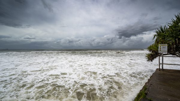
A severe weather threat is set to unfold across Missouri late Tuesday night into early Wednesday, with large hail, damaging winds, and heavy rainfall expected to impact several areas. The National Weather Service warns that isolated severe thunderstorms could develop by the evening, increasing in intensity overnight as they move eastward.
Storm Threats: What to Expect
A powerful storm system will move into Missouri late Tuesday, bringing an elevated risk of severe weather. The main hazards associated with this storm include:
-
Damaging Winds: Gusts up to 60 mph could knock down trees and power lines, leading to potential power outages.
-
Large Hail: Some storms may produce quarter to golf ball-sized hail, capable of causing property damage.
-
Heavy Rain & Flash Flooding: Some areas may see torrential downpours, leading to flooded roads and low-lying areas.
-
Isolated Tornado Risk: While not the primary concern, an isolated tornado cannot be ruled out.
Timing and Affected Areas
-
Western Missouri: Storms may begin developing as early as 7 PM Tuesday, intensifying overnight.
-
Central Missouri: Expect the strongest storms between 10 PM and 3 AM, with high winds and heavy rain.
-
Eastern Missouri & St. Louis Area: The system will move eastward, with storms continuing into early Wednesday morning before gradually weakening.
Precautionary Measures
With damaging winds, hail, and heavy rain in the forecast, residents should take the following precautions:
-
Secure Outdoor Items: High winds can turn loose objects into dangerous projectiles.
-
Prepare for Power Outages: Charge phones, have flashlights ready, and stock up on batteries.
-
Avoid Flooded Roads: If you encounter water-covered roads, turn around, don’t drown—it only takes a few inches of water to sweep away a vehicle.
-
Stay Informed: Monitor weather updates through NOAA Weather Radio, local news, or a weather app for real-time alerts.
Looking Ahead: Cooler, Breezy Weather After the Storms
Once the storms move out early Wednesday, expect cooler and breezy conditions for the remainder of the day. Temperatures will drop into the 50s and 60s, with clearing skies by the afternoon.
While this storm system is fast-moving, its potential for damaging winds, hail, and heavy rain makes it important for Missourians to stay prepared and weather-aware.


