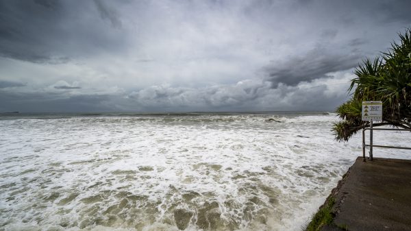
A strong cold front is set to bring severe weather to New York on Monday, with isolated thunderstorms developing as early as 2 PM. Residents should prepare for damaging winds, heavy rain, and possible hail, as the system moves across the state.
The unsettled weather will arrive ahead of a temperature drop, bringing cooler conditions by Tuesday. This storm system could impact commutes, outdoor activities, and travel plans, making it important to stay informed and prepared.
Monday Afternoon: Storms Develop with Strong Winds
As warm air clashes with the approaching cold front, thunderstorms will begin forming in the afternoon, primarily in western and central New York, before moving eastward. Key threats include:
-
Heavy Rain: Downpours could cause localized flooding, especially in urban areas.
-
Damaging Winds: Gusts up to 50-60 mph may knock down trees and power lines.
-
Hail Potential: Some storms may produce small hail, particularly in areas with stronger updrafts.
-
Lightning Threat: Frequent lightning is expected, posing a hazard to outdoor activities and travel.
Evening Impact: Storms Move East, Cooling Temperatures Follow
By Monday evening, the storm system will continue eastward, reaching New York City, Long Island, and the Hudson Valley. Rainfall could be intense, leading to ponding on roads and low-lying flooding.
Temperatures will begin to drop behind the front, bringing cooler, breezy conditions overnight into Tuesday.
Tuesday Outlook: Cooler and Breezy After the Storms
Following the storm system, Tuesday will be noticeably cooler, with highs in the 50s and gusty northwest winds. Skies will gradually clear, but wind chills may make it feel even colder.
How to Stay Safe and Prepared
With severe storms approaching, New Yorkers should take precautions:
-
Secure Loose Items: High winds could cause outdoor furniture and objects to blow away.
-
Check Travel Plans: Expect delays, especially during the evening commute.
-
Monitor Weather Alerts: Stay updated with local warnings and advisories.
-
Prepare for Power Outages: Strong winds may lead to downed power lines, so keep flashlights and emergency supplies ready.
Final Outlook: Storms First, Then a Temperature Drop
New York will experience a stormy Monday, followed by a much cooler and breezier Tuesday. Residents should be ready for severe weather in the afternoon and evening, with conditions improving as the cold front passes.
Stay weather-aware and take precautions to ensure safety during this period of rapidly changing conditions.


