

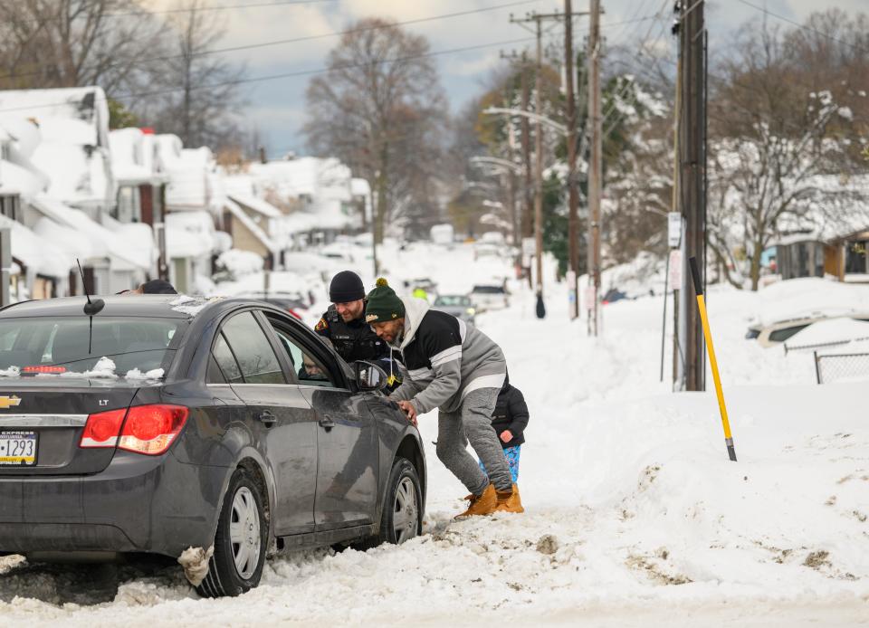
Pennsylvania residents are waking up to the harsh reality of a powerful winter storm that’s bringing a hazardous mix of snow, sleet, and freezing rain. A Winter Weather Advisory is in effect until 9 AM Sunday, warning of dangerous travel conditions and possible power outages.
According to the National Weather Service, this storm will bring up to 1 to 3 inches of snow, followed by a dangerous layer of ice—potentially reaching 0.3 inches in some areas. The ice will coat roads, sidewalks, power lines, and trees, creating a significant hazard for drivers and pedestrians alike.
What to Expect
The storm began moving into western Pennsylvania early Saturday morning, bringing light snowfall. As the system strengthens, the snow will transition into a wintry mix of sleet and freezing rain, particularly in higher elevations and central regions. By late Saturday night into early Sunday, freezing rain will dominate, leading to significant ice accumulation that could bring down tree branches and power lines.
Areas Facing the Worst Impact
The advisory primarily covers central Pennsylvania, including Lycoming, Clinton, and Centre counties. However, some of the worst ice accumulation is expected in higher elevations, such as the Allegheny Front and the Pocono Mountains, where temperatures will remain just below freezing for an extended period.
Travel Advisory: Stay Off the Roads If Possible
This storm is set to create extremely slippery conditions, especially on untreated roads, bridges, and overpasses. With up to 0.3 inches of ice possible, travel could become dangerous and nearly impossible in some areas. If you must drive, experts recommend:
- Reducing speed significantly and allowing extra time to reach your destination.
- Avoiding sudden braking or sharp turns, which can cause vehicles to skid on ice.
- Keeping an emergency kit in your car with blankets, a flashlight, and non-perishable food in case you get stranded.
Power Outages Possible
With ice weighing down power lines and tree limbs, localized power outages are a real concern, especially in areas expecting higher ice accumulation. Residents are advised to charge their devices, stock up on batteries, and prepare alternative heating sources in case of prolonged outages.
The Big Picture: When Will Conditions Improve?
By Sunday morning, temperatures are expected to rise slightly, causing freezing rain to switch over to regular rain in many areas. This will help clear up some of the icy conditions, but roads will remain slick until later in the day.
The storm may be short-lived, but its impact could linger well into next week, with refreezing possible as temperatures drop overnight. Stay updated with local weather alerts and be prepared for last-minute changes in conditions.
If you live in an affected area, exercise extreme caution and avoid unnecessary travel until conditions improve. Check road conditions before heading out and stay safe as this winter storm makes its way through Pennsylvania


